
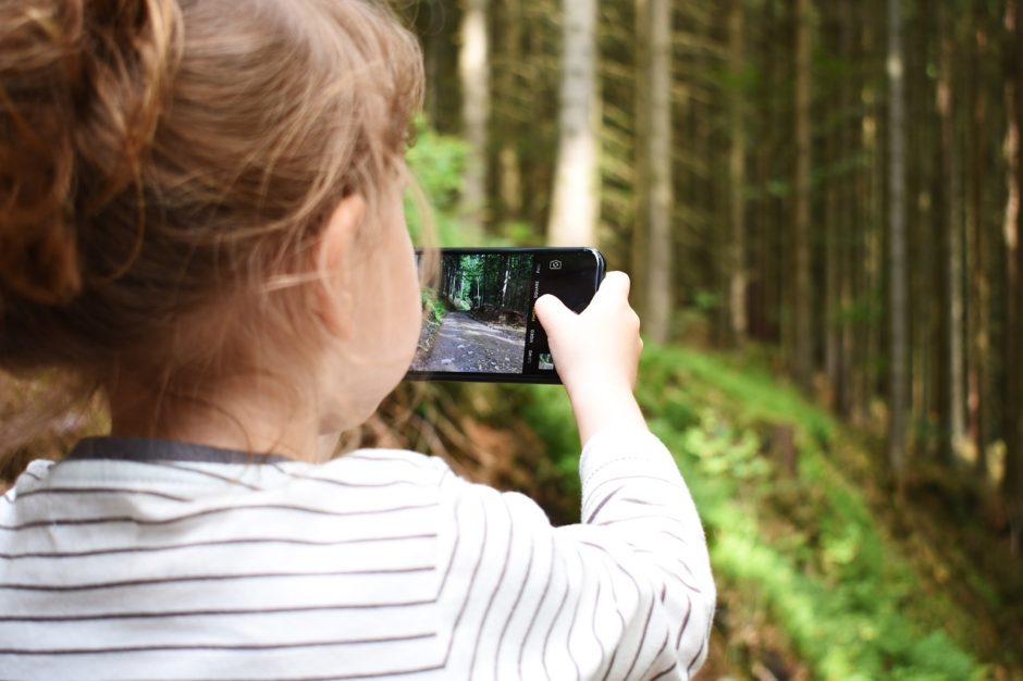
A twisted sense of guilt emerges as I realize the irony of downloading apps while trying to head to the woods. Part of what makes Disney’s Fort Wilderness extra splendid is that feeling of being a little off the grid in the midst of one of the most visited places on earth. However, there are a few must-have apps – utilitarian ones we need for planning, efficiency and safety. And then there are the astonishing ones that actually bring us much closer to nature during our visit.
My Disney Experience
 In addition to Magic Bands, this is another way that Disney knows our every move. I am so weird about this that I sometimes leave the Magic Band back in the RV, and pay for things by card. Anyway, you already know this is a must-have for dining reservations, making fast passes, and looking at ride times. The ticket is to get all of your group connected on one another’s apps before you go.
Lyft

Even if you are an Uber fan, Lyft is the better option inside of Disney resorts. Plus, it’s the only one that allows you to hail a Minnie Van. There’s just not a faster way to get from Cottontail Curl to rope drop.
Instacart
 As someone who loves to cook but hates to waste vacation time, this one is near the top of my list. Instead of driving over to Walmart to buy groceries, I can hang out by the Meadows Pool and order my dinner ingredients online from Publix. A couple of hours later, I will pick them up at the Fort Wilderness Outpost.
Accuweather
How much more time do I actually have at the pool before the skies fall? I love Accuweather’s minute-by-minute forecast for a precise location. Storms come up quickly at the Fort, and I’ve found myself running back to the RV in the lightning too many times. I loathe scary weather – my panicked sprint is not a pretty sight.
Google Maps
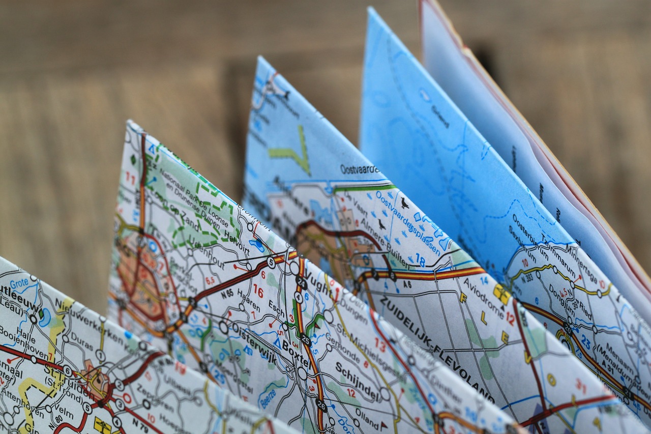 I have one friend who doesn’t use this or Waze or any other navigation app. And I don’t think her 1990s self has still found her way home from dinner last week. My slight preference for Google Maps is because of better graphics, transportation options, and habit.
Merlin Bird ID
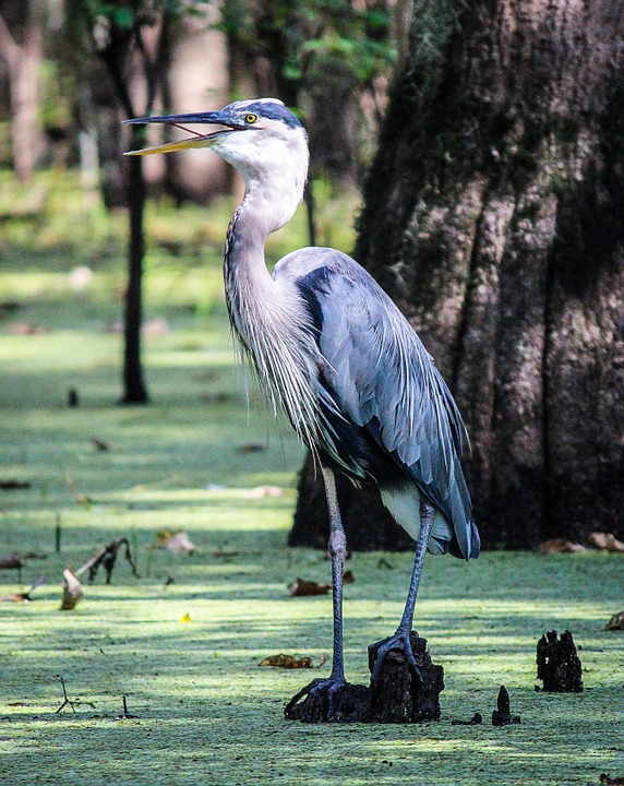 Now, we’re getting into the serious fun. You can use a photo or answer five questions, and Cornell’s Merlin ID will tell you what you are likely seeing. If I only use the question feature, Merlin will provide easily-selectable choices about the size of the bird, my location, the primary colors, and provide me with a pictures of a few possible options. From there, I can simply select which one it is, and receive a detailed description of the bird and audio of its song. I could easily spend four hours a day along Bay Lake as an amateur ornithologist. It’s also very kid-friendly.
iNaturalist
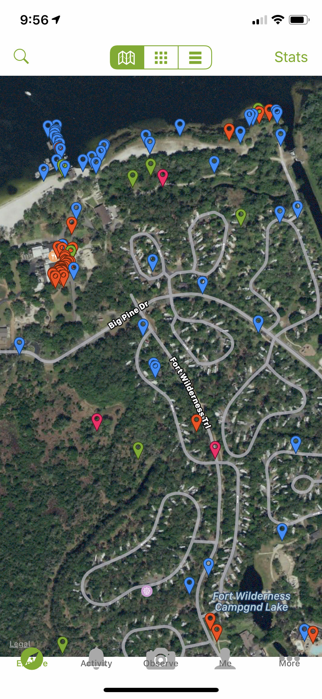
Okay, this one is extremely cool. It allows you to take photos of darling and dangerous animals and lovely plants and share them with the world around you. The result is a crowd-sourced log of what has been spotted and identified in that area. Using the map function allows you to virtually join others who are on a similar splendid voyage. You can even download it right now and see the 200 or so photos that have been shared in Fort Wilderness. These includes squirrels, butterflies, birds, snails, snakes, armadillos, flowers, and plants. Princess Wilderness heaven. Can you tell how much I love this one?
Star Chart
 When the sun sets so early in the winter sky, we tend to look up at the stars. Is that Orion? Where is Mars? Star Chart is one of many apps that allows you to point your iPhone or Android camera to the sky and identify the constellations, planets and stars. And this is one of those times that I realize technology can actually enhance our wilderness experience.
Roadside America
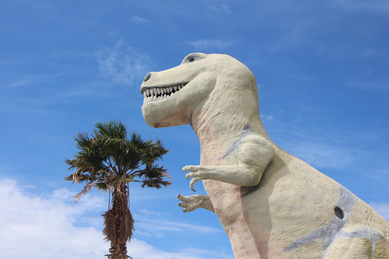 One more for an even nine (I know it’s really odd). Not free, but at $2.99, this app will give you a heads up to offbeat, roadside attractions and items of interest. Let’s say you are headed down I-75 towards the good old kingdom, and you are in the vicinity of Gainesville, Florida. Pull up the app, and it will list interesting, lesser-known places such as the Birthplace of Gatorade (monument), Satchel’s Junk Museum Restaurant (eclectic eatery), or a giant Brahman Bull Statue.